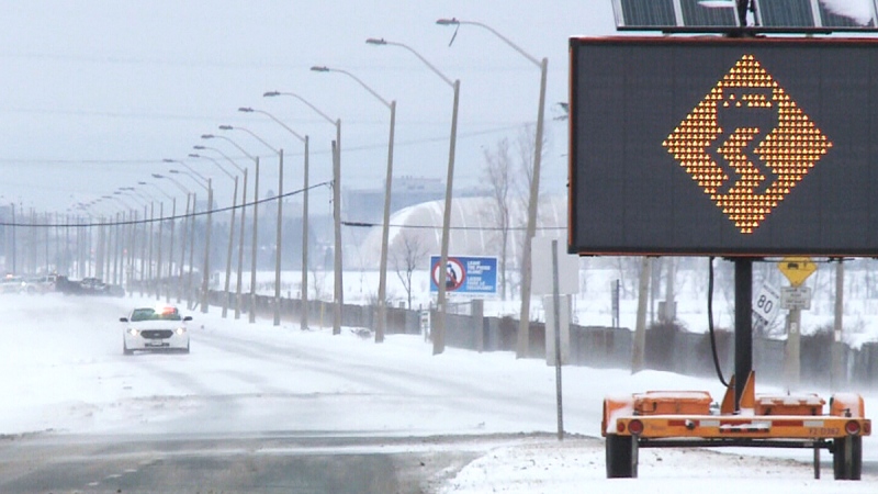
Snow pack below normal as city monitors Ottawa, Rideau rivers ahead of flooding season

The City of Ottawa says it is monitoring the spring melt, but there is no indication of any major river flooding in the immediate future.
The city's spring freshet task force was established after the 2017 floods and monitors water levels on the Ottawa and Rideau rivers each spring.
This year's season was unusual, public works manager Alain Gonthier said in a memo to city council, because of unseasonably high temperatures and low snowfall totals.
"Currently, the snowpack across the larger Ottawa River catchment area and in Ottawa is reported as being below average," Gonthier wrote. "There is no major river flooding in the forecast right now, however, it is premature to predict water levels through to the end of the typical freshet return period."
The Ottawa River Regulation and Planning Board says flows and levels along the main stem of the Ottawa River are close to seasonal values for this time of year, and are expected to increase in most locations over the coming week. There are special weather statements along the Ottawa River warning of 20 to 40 millimetres of rain this weekend.
Gonthier said the situation on the Rideau River was something the city has never seen before.
"For the first time, there was no need to blast the ice, nor a requirement to deploy the amphibious excavator because the river is flowing with isolated sections of ice remaining along the shoreline," he wrote.
The mean temperature in Ottawa in both January and February was about four degrees higher than normal, according to Environment Canada. While Ottawa saw a typical amount of snow in January, it saw just 15 centimetres of snow in February, well below the average of 43 cm.
CTVNews.ca Top Stories

Trudeau, Carney push back over Trump's ongoing 51st state comments
Two senior members of the federal cabinet were in Florida Friday pushing Canada's new $1.3 billion border plan with members of Donald Trump's transition team, a day after Prime Minister Justin Trudeau himself appeared to finally push back at the president-elect over his social media posts about turning Canada into the 51st state.
Calgary Boxing Day crash victim identified, mother and sister still in hospital
A nine-year-old girl has died in hospital after the vehicle she was in was struck by a driver in a stolen vehicle fleeing from police.
B.C. man who flipped 14 homes in four years is fined $2M for tax evasion
A serial property flipper in British Columbia has been convicted of tax evasion and fined more than $2 million for failing to report nearly $7.5 million in earnings.
Gerry Butts says Trudeau less likely to remain leader since Freeland quit
A former chief adviser and close friend to Prime Minister Justin Trudeau said Friday he doesn't think Trudeau will stay on to lead the Liberals in the next election.
Missing dog returned to family home and rang the doorbell
After a nearly weeklong search, Athena, a four-year-old German Shepherd and Husky mix, found her way home to her Florida family in time for Christmas Eve and even rang the doorbell.
'Home Alone' director Chris Columbus explains how the McCallisters were able to afford that house
Audiences have wondered for years how the family in 'Home Alone' was able to afford their beautiful Chicago-area home and now we know.
'Nobody should have to go through that': N.B. family grieving father, daughter killed in crash
A New Brunswick family is grieving the loss of a father and daughter in a crash.
Five southern Ont. hunters fined $37K for moose hunt offences in northern Ont.
A multi-year moose hunting investigation resulted in five people being convicted of moose hunting offences and fined a total of $37,000, plus $9,250 in victim surcharges.
New York correctional officers pummelled handcuffed man before death, footage shows
Newly released video of a fatal New York prison beating shows correctional officers repeatedly pummelling a handcuffed man, striking him in the chest with a shoe, and lifting him by the neck and dropping him.


