Winter isn’t done with us yet
An overnight snowfall left Ottawa covered in a thin, white blanket Sunday morning, a reminder that while spring is technically here, winter isn’t done with us just yet.
Environment Canada’s Sunday weather forecast for the capital includes a chance of flurries and a daytime temperature that gets colder as the day goes on. Expect an afternoon low of around -9 C with a wind chill of -15.
Overnight, colder still, with a low of -15 C and a wind chill of -23. There is also a slight chance of a few more flurries. The record low for March 28 is -14.4 C, set in 1940.
The average high for this time of year is around 5 C, while the average low is around -4 C.
Ulaanbaatar, Mongolia—typically considered the coldest capital city in the world—may have trouble keeping up with the temperature in Ottawa, with its overnight low of -8 C heading into Monday.
Monday’s high in Ottawa is -8 C with a wind chill of -15. There’s a slight chance of flurries in the forecast Monday morning and a few cloudy breaks in the afternoon.
More sunshine is in store Tuesday, with the temperature warming up to a high of -1 C.
Wednesday’s outlook is back on the plus side, with a few clouds and a high of 1 C.
Thursday’s forecast includes showwers and a high of 13 C.
CTVNews.ca Top Stories

Quebec nurse had to clean up after husband's death in Montreal hospital
On a night she should have been mourning, a nurse from Quebec's Laurentians region says she was forced to clean up her husband after he died at a hospital in Montreal.
Northern Ont. lawyer who abandoned clients in child protection cases disbarred
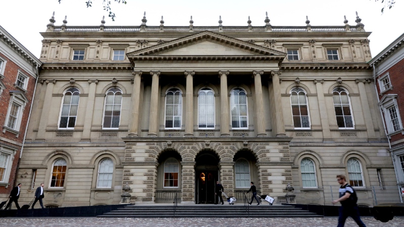
A North Bay, Ont., lawyer who abandoned 15 clients – many of them child protection cases – has lost his licence to practise law.
Bank of Canada officials split on when to start cutting interest rates
Members of the Bank of Canada's governing council were split on how long the central bank should wait before it starts cutting interest rates when they met earlier this month.
Maple Leafs fall to Bruins in Game 3, trail series 2-1
Brad Marchand scored twice, including the winner in the third period, and added an assist as the Boston Bruins downed the Toronto Maple Leafs 4-2 to take a 2-1 lead in their first-round playoff series Wednesday
Cuban government apologizes to Montreal-area family after delivering wrong body
Cuba's foreign affairs minister has apologized to a Montreal-area family after they were sent the wrong body following the death of a loved one.
'It was instant karma': Viral video captures failed theft attempt in Nanaimo, B.C.
Mounties in Nanaimo, B.C., say two late-night revellers are lucky their allegedly drunken antics weren't reported to police after security cameras captured the men trying to steal a heavy sign from a downtown business.
What is changing about Canada's capital gains tax and how does it impact me?
The federal government's proposed change to capital gains taxation is expected to increase taxes on investments and mainly affect wealthy Canadians and businesses. Here's what you need to know about the move.
New Indigenous loan guarantee program a 'really big deal,' Freeland says at Toronto conference
Canada's Deputy Prime Minister Chrystia Freeland was among the 1,700 delegates attending the two-day First Nations Major Projects Coalition (FNMPC) conference that concluded Tuesday in Toronto.
'Life was not fair to him': Daughter of N.B. man exonerated of murder remembers him as a kind soul
The daughter of a New Brunswick man recently exonerated from murder, is remembering her father as somebody who, despite a wrongful conviction, never became bitter or angry.


