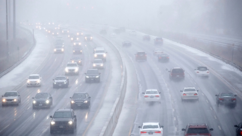
Thunderstorms bring heavy downpours to Ottawa and region
A line of severe thunderstorms moving across eastern Ontario brought heavy downpours to the capital Monday afternoon and evening.
- Sign up now for daily CTV News Ottawa newsletters
- The information you need to know, sent directly to you: Download the CTV News App
Environment Canada issued a severe thunderstorm warning for Ottawa Monday afternoon saying the city could see a storm that could bring heavy wind gusts, rain, and hail.
"Thunderstorms are slowly tracking east over central and eastern Ontario. The primary threat is heavy rain approaching 100 millimetres within nearly stationary lines of thunderstorms. Wind gusts of 100 km/h and toonie sized hail is also possible," the weather alert said.
A heat warning issued by Environment Canada on Saturday afternoon ended just before 7 p.m. The temperature at the Ottawa Airport reached a high of 30.2 C at 3 p.m., with a humidex value of 40. The ensuing thunderstorm caused the temperature to drop by about eight degrees in the span of a couple of hours.
The severe thunderstorm warning ended just after 7:30 p.m., but a severe thunderstorm watch remained in effect until just after 8:30 p.m.
Environment Canada says cooler temperatures are expected to arrive on Tuesday, with heat coming down to the mid-20's this week.
Storm brings brief power outages
Hydro Ottawa reported more than 1,200 customers without power in the Glebe Monday afternoon as the storm moved over the region.
Automated emails from Hydro Ottawa at 5:45 p.m. reported 631 customers without power in the Pretoria, Patterson, Strathcona, and Bank area. Another 635 customers are without power in the First, Third, Glebe, O'Connor and Bank area.
Hydro Ottawa emails said at 6:13 p.m. that power had been restored.
Opening hours for Parc Moussette, Parc du Lac-Beauchamp and Parc des Cèdres will be extended to 8 p.m.
CTVNews.ca Top Stories

Trump suggests the U.S. should take back the Panama Canal. Could they do that?
Donald Trump suggested Sunday that his new administration could try to regain control of the Panama Canal that the United States 'foolishly' ceded to its Central American ally, contending that shippers are charged 'ridiculous' fees to pass through the vital transportation channel linking the Atlantic and Pacific Oceans.
Weather advisories issued for GTA, areas north of Toronto ahead of 'significant' snowfall
Holiday travellers and commuters could be in for a messy drive on Monday morning as a significant round of snowfall moves into the region.
Man handed 5th distracted driving charge for using cellphone on Hwy. 417 in Ottawa
An Ottawa driver was charged for using a cellphone behind the wheel on Sunday, the fifth time he has faced distracted driving charges.
Wrongfully convicted N.B. man has mixed feelings since exoneration
Robert Mailman, 76, was exonerated on Jan. 4 of a 1983 murder for which he and his friend Walter Gillespie served lengthy prison terms.
What's open and closed over the holidays in Canada
As Canadians take time off to celebrate the holidays, many federal offices, stores and businesses will be closed across the country on Christmas Day and New Year's Day.
opinion Christmas movies for people who don't like Christmas movies
The holidays can bring up a whole gamut of emotions, not just love and goodwill. So CTV film critic Richard Crouse offers up a list of Christmas movies for people who might not enjoy traditional Christmas movies.
Can the Governor General do what Pierre Poilievre is asking? This expert says no
A historically difficult week for Prime Minister Justin Trudeau and his Liberal government ended with a renewed push from Conservative Leader Pierre Poilievre to topple this government – this time in the form a letter to the Governor General.
More than 7,000 Jeep vehicles recalled due to rearview camera display issue
A software issue potentially affecting the rearview camera display in select Jeep Wagoneer and Grand Cherokee models has prompted a recall of more than 7,000 vehicles.
'I'm still thinking pinch me': lost puppy reunited with family after five years
After almost five years of searching and never giving up hope, the Tuffin family received the best Christmas gift they could have hoped for: being reunited with their long-lost puppy.


